Getting Around Coupeville, WA: A 2026 Transportation and Transit Guide
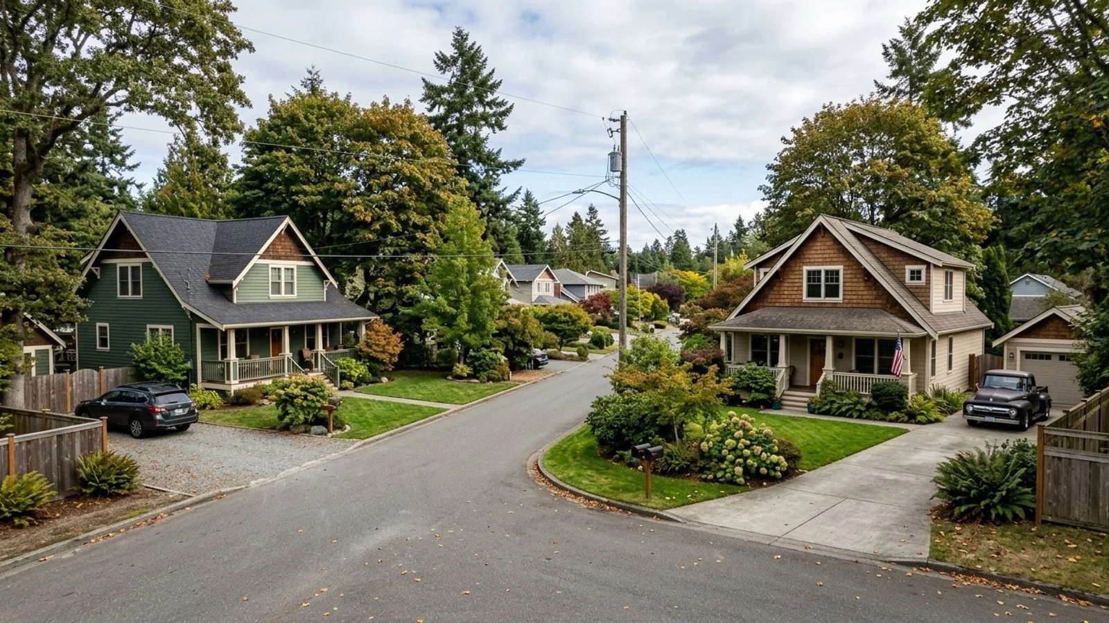
Coupeville sits on central Whidbey Island, which means every route in or out involves a bridge or a ferry. That's not a complaint - it's just the reality of living in Coupeville, WA. Homes here spend roughly 17 days on the market before selling, so buyers don't have the luxury of a long deliberation period, and questions about daily logistics tend to come up fast.
At a median home price of around $470,800, it's a reasonable investment. What it requires, though, is a clear-eyed look at how commuting, errands, and transit actually work when you're living on an island.
Arriving in Town by Road and Air
Getting to Coupeville means choosing your crossing. The town sits on Washington State Route 20, the main road threading through central Whidbey Island, and you'll reach it one of a few ways: north via the Deception Pass Bridge, west via the Port Townsend–Coupeville ferry, or south along State Route 525, which pulls traffic up from I-5 in Lynnwood through Mukilteo before connecting to SR 20 just south of town.
Major Commercial Airports
There's no commercial airport in Coupeville itself. Most people fly in and out of Seattle-Tacoma International Airport (SEA), about 70 miles away by road. Paine Field in Everett is a closer full-service alternative, and if you're looking further north, Anacortes and Bellingham International both offer regional service.
Driving Directions and Commute Times
Commuting off-island means building ferry schedules into your morning routine - that's just part of island life. On the local end, downtown Coupeville keeps things simple: free public parking in the central area makes quick stops easy, and Main Street serves as the practical hub for errands and access to Ebey's Landing National Historical Reserve.
Traveling from Seattle
The drive from Seattle to Coupeville runs about 57 miles via I-5 and SR 525, and clocks in at roughly 1 hour and 42 minutes on the fastest route - though that number moves depending on traffic. If you take the Mukilteo–Clinton ferry, you're looking at about 58 miles total, a 20-minute ferry ride included, and roughly 1 hour and 44 minutes door to door.
Two minutes isn't a meaningful difference. What matters is which crossing fits your schedule.
Park-and-Ride Facilities
If you'd rather leave the car behind, the Coupeville Prairie Station Transit Park at 201 South Main Street is your main option - it serves Island Transit Bus Routes 1 and 6. There's also free public parking along Main Street with Island Transit connections, and another lot near the Coupeville Library on Alexander Street.
Public Transportation on Whidbey Island
Island Transit runs the show here. Headquartered at 19758 State Route 20 in Coupeville, the agency covers both Whidbey and Camano Islands with fixed-route bus service, paratransit, and vanpools. Route 6, for example, connects the Coupeville Ferry Terminal to Oak Harbor - a useful corridor for anyone moving across the middle of the island regularly.
Zero-Fare Rides
The whole system is fare-free. No passes, no payment, no daily transit budget to track. Every fixed route runs at zero cost to the rider, which makes a real difference whether you're running a local errand or commuting to another island town.
Shuttle and Van Options
Coupeville doesn't have a dedicated trolley, but Island Transit's regular routes cover the gap well enough for most riders. The agency also runs the RideLink program, which provides vans specifically for non-profit organizations - that's the closest thing to a local shuttle alternative, and it's community-facing rather than general-public. For daily stops, the standard bus network is what you're working with.
Walkability and Deciding on a Car
Let me be straight with you: most people on Whidbey Island keep a car. The central downtown is genuinely walkable, but the broader region is spread out, and getting to the mainland for groceries, trailheads, or a hardware run isn't something transit handles on a convenient schedule. If you're budgeting for a move here, vehicle expenses belong in that spreadsheet.
Getting Around Downtown
Along Main Street, the core commercial blocks are easy on foot - shops, restaurants, access to Ebey's Landing, all covered without needing to drive. Outside that central corridor, it changes quickly. Distances between neighborhoods add up, and the terrain doesn't help. If walkability matters to you, look hard at a property's actual distance from Main Street before you fall in love with it.
Accessible and Senior Transport
Island Transit offers ADA-compliant paratransit services for registered individuals with disabilities, including Route Deviation for riders who can't reach standard stops. These services run alongside the standard fare-free fixed-route buses and cover medical appointments, errands, and other trips for seniors and riders with mobility challenges.
Frequently Asked Questions
How walkable is historic downtown Coupeville for daily errands?
The historic downtown along Main Street handles local shops and restaurants fine on foot. For comprehensive daily errands or anything outside the central core, you're looking at a car or a bus ride.
How long is the typical commute from Coupeville to mainland cities like Seattle or Everett?
Seattle runs about 57 miles and roughly 1 hour and 42 minutes by road, or about 1 hour and 44 minutes if you factor in the Mukilteo–Clinton ferry. Everett is shorter, but ferry schedules and highway traffic still shape the actual time.
Does Coupeville have a reliable public transit system for getting around Whidbey Island?
Island Transit covers Whidbey Island with fixed-route bus service - Route 6 connects the Coupeville Ferry Terminal to Oak Harbor directly. The entire system is fare-free, so passengers pay nothing to ride.
What is the best route or shuttle option to get from a home in Coupeville to Sea-Tac Airport?
Driving is the most direct path to Seattle-Tacoma International Airport (SEA), which sits about 70 miles away by road. You can head north on State Route 20 over the Deception Pass Bridge, or go south on State Route 525 to the Mukilteo ferry - your call depending on timing and traffic.